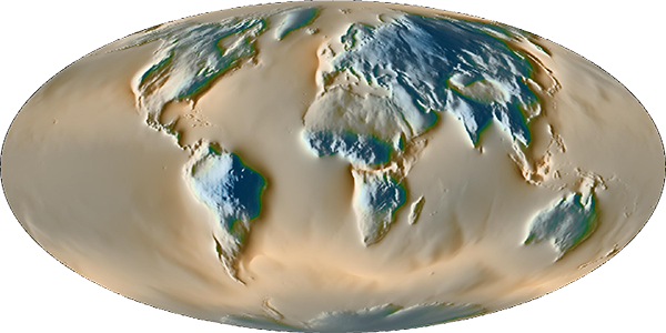

The global circulation of surface geophysical fluids (atmosphere, oceans, continental hydrology) induces global Earth deformation and gravity field changes, which can be detected by precise modern geodetic techniques. This service provides models of 3-D surface displacements (global maps and site displacements), surface gravity and tilt variations at various sites, computed using atmospheric, oceanic and hydrological general circulation models.
computed from 6-hourly surface pressure and continental hydrology from ECMWF operational and reanalysis (ERA40 and ERA-interim) products.
3-D displacement maps are currently provided on 3-hourly and 0.5-degree grids, in both the Center-of-Mass and Center-of-Figure reference frames:
We provide 3-D displacements due to atmospheric, induced oceanic (inverted barometer or dynamic response) and hydrological loading for ITRF 2014 sites at high sampling rate (less than 1-day), computed in both Center-of-Mass and Center-of-Figure reference frames.
We provide Stokes coefficients due to atmospheric, oceanic and hydrological loading, fully compatible with the 3-D global displacement maps.
We also release surface gravity variations due to atmospheric, induced oceanic and hydrological loading effects computed at IGETS (International Geodynamics and Earth Tide Service) sites.
Tilt variations due to atmospheric, induced oceanic and hydrological loading effects are provided for a selection of sites.
This service has been developped thanks to funding from CNES through its TOSCA program.