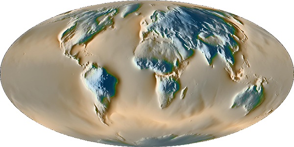

Hydrological loading are estimated from GLDAS/Noah (versions 1 and 2.1), GLDAS/CLM (version 2.2, with assimilation of GRACE and GRACE-FO data) [Rodell et al., 2004], ECMWF operational and reanalysis (ERA interim) models, MERRA-land [Reichle et al., 2011], MERRA2 [Reichle et al., 2017] and GRACE iterated global mascons [Luthcke et al., 2013; Bryant and Loomis, 2016; Loomis et al., 2019] (RL06v1.0). GIA effects are removed using ICE6G_D model (Peltier et al., 2018).
The spatial and temporal resolutions of the GLDAS/Noah models are respectively 0.25° and 3 hours. Permanently ice-covered areas (Greenland, Alaska and mountain glaciers) have been removed. The conservation of the total water mass has been enforced by adding/removing a uniform oceanic layer compensating any lack/excess of water over land.
The spatial and temporal resolutions of the GLDAS/CLM v2.2 model are respectively 0.25° and 1-day.
The spatial and temporal resolutions of hydrological ERA interim model are about 0.7° (reduced Gaussian grid) and 6 hours. The total mass conservation has also been inforced.
The spatial resolution of the ECMWF operational varies through time, from about 0.35° in 2000 to 0.15° after 2010.
The spatial and temporal resolution of MERRA-land are respectively 0.5° and 2/3° (MERRA-land) or 0.625° (MERRA2) in latitude and longitude and 1 hour.
NASA/GSFC GRACE global iterated mascons are provided at monthly and 1° (equal area) resolutions
In each files, three different products/columns (unit: nm s-2) are provided:
The local contribution is exactly equal to:
The filename gives the station name, the starting year and last year. Access to the files.